Another blast of winter for Paulson Summit to Kootenay Pass
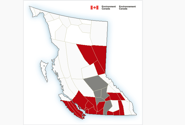
Another winter storm is brewing for most of the major highways in Southern BC, including Highway 3 the Paulson Summit to Kootenay Pass said Environment Canada Thursday.
The storm is due to an approaching low-pressure system will track inland Thursday and across the BC interior into the evening, including the Boundary, West Kootenay and Kootenay Lake regions.
“Heavy snow will persist today before tapering to flurries this evening,” Environment Canada said. “Snowfall amounts of 20 to 30 cm can be expected by this evening.”
Environment Canada said drivers should prepare for quickly changing and deteriorating travel conditions. Rapidly accumulating snow could make travel difficult over some locations. Visibility may be suddenly reduced at times in heavy snow.
Weather in the mountains can change suddenly resulting in hazardous driving conditions.
Some of the expected snow accumulation for BC highways include, Rogers Pass 20-30 cm; Allison Pass 25 cm; Coquihalla 30 cm; Pine Pass 10-15 cm; and Sea to Sky highway 20-30 cm.
The recent storms has been a benefit to the local ski hills, including Whitewater which has seen 61 cm fall in the past seven days increasing the settled snowpack to 169 cm.
At Red Mountain in Rossland, this week has seen 39 cm fall for a base of 98 cm.
ShiftIntoWinter.ca reminds drivers to know before you go. Adjust to winter driving behaviour and use winter tires and chains.
Road conditions are available at DriveBC.


