UPDATED: Winter Storm Watch for Paulson Summit to Kootenay Pass

By Lone Sheep Publishing
Environment Canada said winter weather is continuing to hamper the highway driving in the Southern Interior of BC.
Environment Canada said a Winter Storm Watch has been issued for most of the Southern Interior of BC, including the Boundary/West Kootenay regions.
Environment Canada said that heavy snow with strong winds and near zero visibility at times from Monday to Wednesday morning on Highway 3 – Paulson Summit to Kootenay Pass between Monday afternoon to Wednesday morning.
“A series of weather systems are expected to bring heavy snow to the BC Interior beginning Monday,” Environment Canada said.
“A frontal system will sweep through the region on Monday, followed by a slow moving low pressure system that could linger through to early Wednesday.”
Environment Canada said snow is forecast to develop ahead of the incoming front through the afternoon on Monday, and become particularly heavy on Monday night.
“Periods of heavy snow can be expected for much of Tuesday through to Wednesday morning . . . along with heavy snow, strong winds are also possible,” Environment Canada said.
“Over the highest elevations, winds will be very strong, conditions will be blizzard-like, with cold wind chill and near zero visibility.”
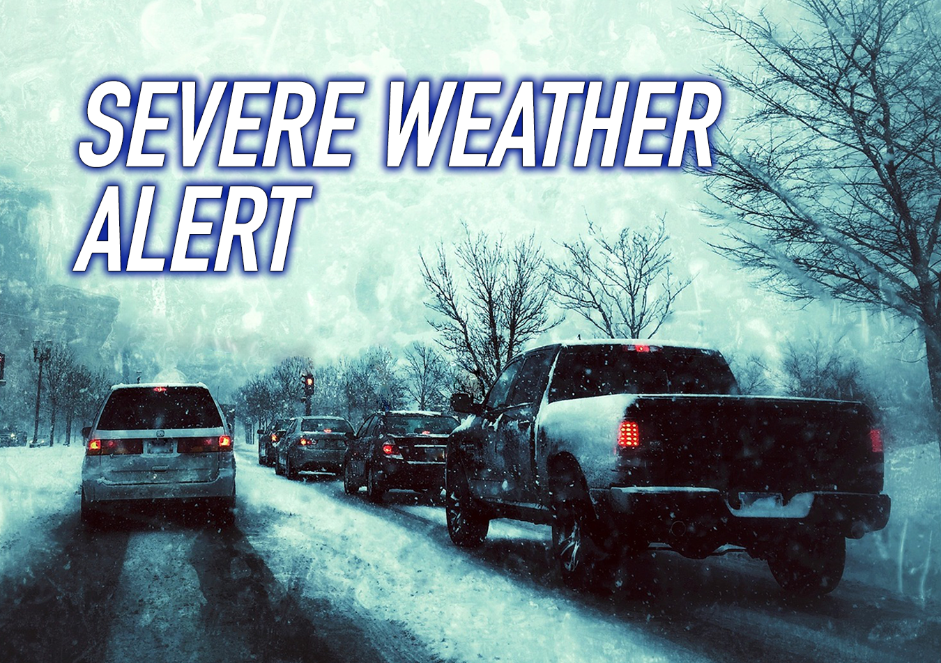
Rapidly accumulating snow and local blowing snow making difficult travel conditions with visibility suddenly reduced at times in heavy snow.
Weather in the mountains can change suddenly resulting in hazardous driving conditions.
The website Shift Into Winter reminds drivers to know before you go.
Adjust to winter driving behaviour and use winter tires and chains.
Road conditions are available at DriveBC.
Environment Canada issues Snowfall Warning for Highway 3 — Paulson Summit to Kootenay Pass
It maybe difficult to believe — considering the recent bout of warm weather and lack of snow in December — but Environment Canada has issued a Snowfall Warning for Highway 3 – Paulson Summit to Kootenay Pass.
Environment Canada said snowfall amounts of 15 to 20 cm is expected beginning Friday evening and into Saturday afternoon.
“A strong Pacific low pressure system will move across BC today and on Saturday,” Environment Canada said.
“Snow, heavy at times, is expected over Highway 3 from Paulson Summit to Kootenay Pass early this evening through Saturday morning.”
Environment Canada said snow will taper off Saturday afternoon and the most accumulations in the valley bottoms, upwards of 15 cm, is expected in the West Kootenay near Trail.
Rapidly accumulating snow could make travel difficult over some locations. Surfaces such as highways, roads, walkways and parking lots may become difficult to navigate due to accumulating snow.
Rapidly accumulating snow and local blowing snow making difficult travel conditions with visibility suddenly reduced at times in heavy snow.
Weather in the mountains can change suddenly resulting in hazardous driving conditions.
Winter tires or chains are required on many highways in B.C. from October 1 to March 31.
A winter tire must be in good condition, with a minimum tread depth of 3.5 mm (5/32 inches).
The website Shift Into Winter reminds drivers to know before you go.
Adjust to winter driving behaviour and use winter tires and chains.
Road conditions are available at DriveBC.