RDKB activates EOC due to washouts in Fruitvale, Warfield; mudslide east of Christina Lake

By Lone Sheep Publishing
In a media release Tuesday, the Regional District of Kootenay Boundary said it has activated its Regional Emergency Operations Centre (EOC) to Level 1 to support the village of Fruitvale and Warfield’s Public Works Departments.
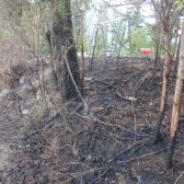
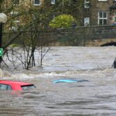
The RDKB said that heavy rainfall over the weekend has led to washouts in the villages of Fruitvale and Warfield due to high waters on Trail and Beaver Creek.
The RDKB said high water is expected to remain for a couple of days before it recedes with Creekside Park and the footbridge will be closed until further notice.
“Safety fencing has been erected around the affected areas in Fruitvale and Warfield but we ask the public to stay away from swollen river banks, especially with pets and children," said RDKB’s emergency manager and EOC Director Mark Stephens in the media release.
"As the seasons and weather conditions change, the water’s edge is not a safe place to be."
Stephens added that no homes are affected by the washouts and no evacuation alerts or orders have been issued but we will continue to monitor weather and stream flow daily throughout the region.
The advice from the team at the RDKB Regional Emergency Operation Centre is to regularly monitor the emergency.rdkb.com website as well as the @RDKB_Emergency twitter feed for the latest emergency news, weather forecasts and alerts.
The public is advised to find out the ways they can be proactive, get prepared for the changing weather conditions, protect your home, make an emergency plan and more.
Anyone that has not already registered should sign up for emergency notifications https://voyent-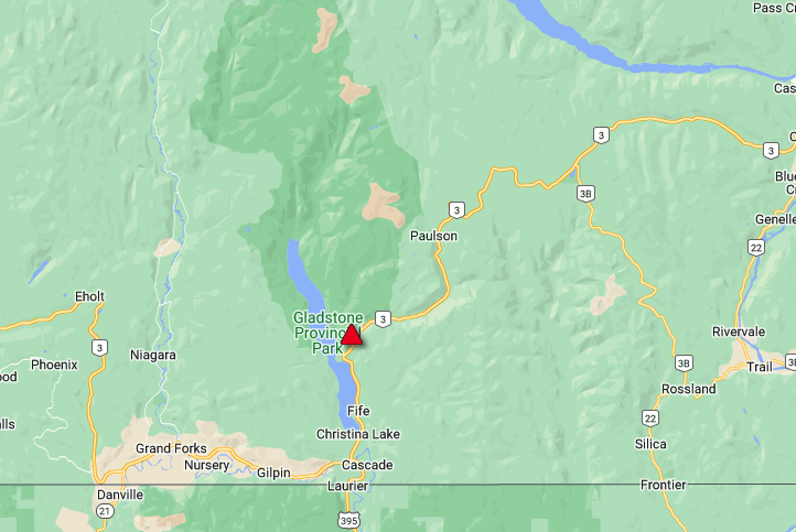
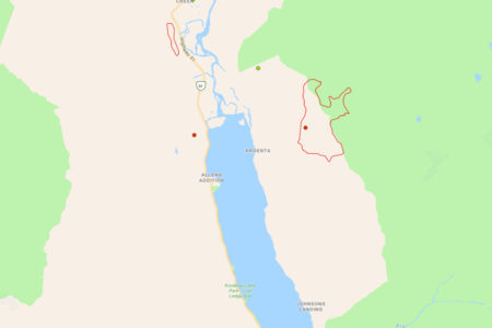
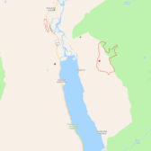
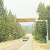
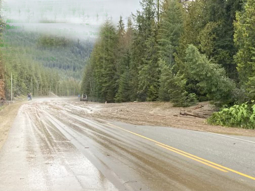
The DriveBC map shows the location of the mudslide on Highway 3, east of Christina Lake. — DriveBC
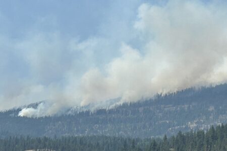
Meanwhile, DriveBC is reporting that Highway 3 has been closed in both directions east of Christina Lake due to a mudslide.
RCMP said that the slide, which is still coming down the mountainside, is located five kilometers east of Christina Lake on the Paulson pass between McRae Road and McRae Provincial Rest Area.
DriveBC said the road assessment is in progress with an estimated time of re-opening 11 a.m. Wednesday.
The public wanting to use that stretch of highway is urged to go to the DriveBC website for the most current updates.
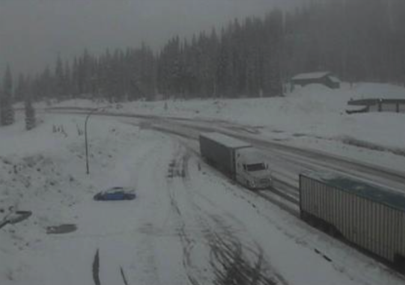
DriveBC is also reporting that Highway 3, Kootenay Pass between Salmo and Creston is still in the grip of winter with snow at higher elevations of the Southern Interior pass.