Nohomin Creek aerial mapped at 2,058 hectares
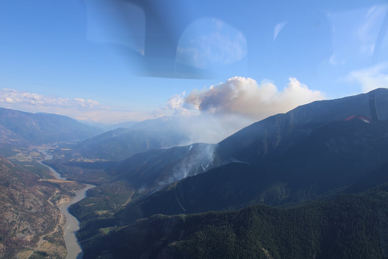
BC Wildfire Service said Monday that the Nohomin Creek blaze is now been aerial mapped at 2,058 hectares — this change in size is attributed to the growth that occurred yesterday afternoon upslope on the west flank of the fire.
“A warming and drying trend is forecasted beginning (Monday),” the BC Wildfire website said.
“With less cloud cover, sunny weather and temperatures warming up more quickly throughout the day, relative humidity’s will be lower than over the weekend and fuels will continue to dry out.
“This is expected to contribute to increased fire behaviour and fire activity creating potentially volatile conditions.”
The Nohomin Creek wildfire is located approximately 1.7 kilometers northwest of Lytton, on the west side of the Fraser River.
BC Wildfire Service said crews working on the south flank have been making good progress (Monday) as they continue building line using direct attack methods on the fires edge and extending their water delivery system as they work their way up the steep slope.
“The helipads are now complete and have been reopened along the south flank,” BC Wildfire Service said. “These helipads will aid the crews in moving gear and crews up the slope as they continue advancing up the slope.”
“Along the east flank, initial attack crews and Lytton First Nation firefighters continue to focus on mop up and patrol around structures within the fire’s vicinity,” BC Wildfire Service added.
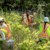
BC Wildfire Service said the three unit crews working on the north flank are also making good progress with one unit crew continues to build a 50-foot wet line from the eastern flank near the Fraser River, up to the BC Hydro transmission lines.
Another unit crew is continuing guard development up a steep mountain ridge on the northern flank while the third unit crew is looking to establish a contingent control line north of the fire.
“While the south, east and north flanks of the fire are currently exhibiting minimal fire activity, the western flank remains active, but much of the terrain is steep and inoperable,” BC Wildfire Service said.
“(Sunday) the fire moved up the western ridge line and partially spilled over into a shale rockface.”
BC Wildfire Service said helicopters provided bucketing support throughout the day Sunday and had good success on both the north and south flanks, allowing crews to safely continue directly attacking the wildfire. Their support will continue throughout Monday.
A coordinated approach in the response and protection of the Stein Valley Nlaka’pamux Heritage Park will continue to be a priority for Lytton First Nation, BC Parks and the BC Wildfire Service.
The spot fire that was found yesterday morning (on July 17) and actioned by crews throughout the day and overnight, near the start of the Stein Valley Nlaka’pamux Heritage Park walking trail will continue to be actioned today.
A representative from Lytton First Nation that specializes in archeological site and cultural values is working with structure protection specialists and BCWS crews to identify cultural values along the beginning of the Stein Valley walking path and will be providing guidance and recommendations on the best options for protection of those values.
Structure protection assessment and triaging remains ongoing.
There are currently: four unit crews, five initial attack crews, 19 Lytton First Nation firefighters, an Incident Management Team, structure protection personnel, four water tenders, ten helicopters and other operational and support staff supporting the response.


