Low snowpack levels may not be indicator of mild spring freshet

By John Boivin Local Journalism Initiative
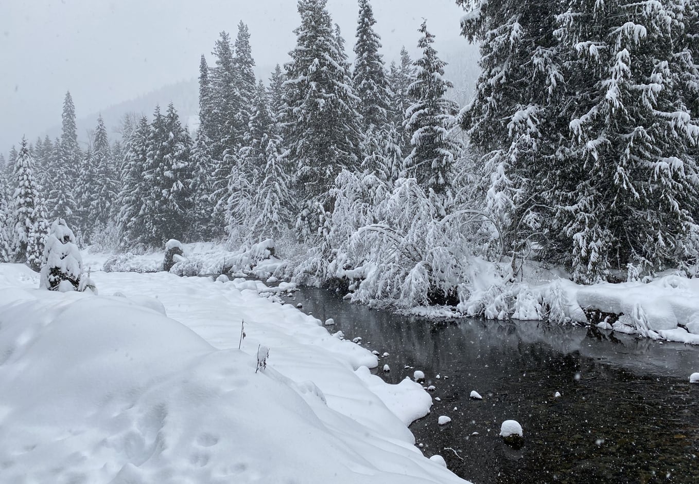
Snowpack levels across most of British Columbia were slightly down as of the first half of March – though that may not be an indicator of a mild freshet this spring.
“The provincial average for all [automated recording station] locations decreased slightly from 114% on March 1 to 112% for March 15,” said the Province’s mid-month snow survey bulletin.
In the West Kootenay, the snow basin average is 110% of normal (in 2020 it was 121%).
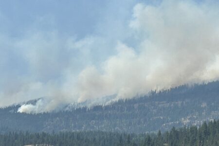
Several storm systems affected the coastal areas and northern regions of BC over the first half of March, while the Southern Interior remained relatively dry, forecasters say.
West Kootenay snow measuring stations show a wide variation, from 89% of normal at Char Creek (near Salmo) to 106% at Koch Creek in the Slocan Valley, to 117% at St. Leon’s Creek near Nakusp.
By March 15, on average, nearly 90% of the total seasonal snowpack has accumulated.
La Nina a key factor
As for the spring freshet, a lot depends on how La Nina plays out over the coming months – a South Pacific Ocean weather effect that started kicking in last fall.
“Historically, La Niña conditions create cooler temperatures for British Columbia and wetter weather in the South Coast and Vancouver Island during the winter and early spring months,” the forecasters note.
“Due to cooler temperatures during spring months, La Niña conditions often result in continued snow accumulation and delayed snow melt.”
In the Southern Interior, the weather effect tends to increase the snowpack by 10 to 17 percentage points on average. Recent La Niña years have resulted in significant flooding, including 2017, 2012 and 2011.
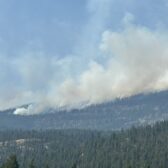
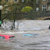
“The combination of a high March 1 snowpack, La Niña conditions that will persist through spring, and seasonal weather forecasts that predict cooler and wetter conditions for the province means an elevated risk for freshet-related flooding,” says the River Forecast Centre.
However, they caution that snowpack is also only one factor related to freshet flood risk, with weather conditions in watersheds affecting local runoff conditions.
“Conversely, high snowpack does not typically lead to flooding without significant contributing weather during the snow melt season,” it notes.
The River Forecast Centre monitors and makes predictions on river behaviours based on measurements taken from hundreds of automated and staffed snow measuring stations across the province. Each month, the snow bulletin updates the public on snow conditions.
More information will be released in a few weeks, when the next snow bulletin is issued. The centre says April 1 is considered the benchmark report to compare snowpacks to historical years.