Talbot Creek fire sparks RDCK to issue Evacuation Alert in Slocan Valley

By Nelson Daily Staff
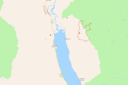
The Regional District of Central Kootenay (RDCK) Emergency Operations Centre (EOC) based on recommendation from the BC Wildfire Service Saturday issued an Evacuation Alert for 305 homes in the communities of Lebahdo, Little Slocan, Passmore and Vallican.
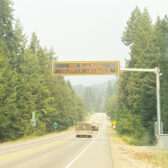
The RDCK EOC said residents must be prepared to leave their homes at a moment’s notice in response to the Talbot Creek Wildfire – N51250.
See RDCK website release for 305 homes issued Evacuation Alert.
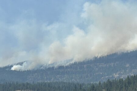
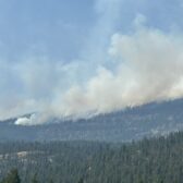
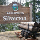
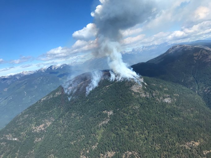
The Talbot Creek Wildfire, which started by lightning Monday, is located in the Slocan Valley approximately 3.5 km north east of Highway 6 and approximately 30 km north of Castlegar.
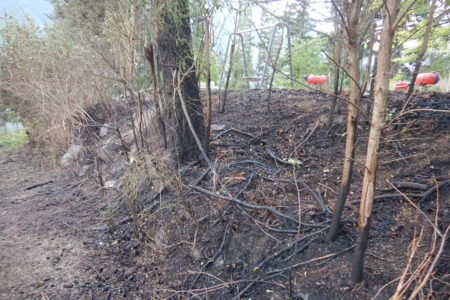
Following recent wind storm, the wildfire is now estimated at 200 hectares and is producing significant smoke today and is highly visible from the Slocan Valley as well as surrounding communities.
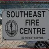
“With the continued hot and dry weather, and the potential for changing winds Sunday night and into Monday, the Southeast Fire Centre has recommended the Evacuation Alert as a precaution and to allow people in the area to prepare themselves,” said Chris Johnson, Director of the RDCK EOC.
“If you are affected by the alert, please take the time now to prepare to evacuate yourself and your family should an evacuation be required.”
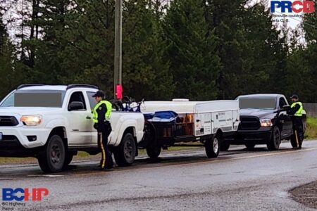
Currently BC Wildfire Serives reports 74 firefighters on scene at the Talbot Creek fire with six helicopters and seven pieces of heavy equipment assisting.
The BC Wildfire Service said Ground crews are responding along with heavy equipment to establish control lines with helicopters performing water bucketing and air tankers responded earlier Saturday.
The RDCK EOC said at this time residents or visitors within the area are not required to evacuate; however, officials advise people to remain vigilant and be prepared to leave the area at a moment’s notice.
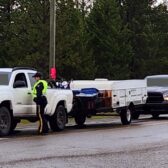
The RDCK EOC recommends residents prepare an emergency kit and ensure preparedness, including moving pets and livestock to a safe area, in the event the situation becomes worse and an Evacuation Order is enforced.
Due to COVID-19 restrictions there are limited options for lodging. People that are evacuated will be asked to arrange accommodations with family or friends outside the area, leaving available spots for those that need it most.
The other wildfires in the area have been either brought under control or are being held.
Being Held:
- Crusader Creek
- Airy Creek
Under control:
- Trozzo Creek
- Hird Creek
- Watson Creek
- Mt. Flynn
- Aaron Creek (near Castlegar)
The BC Wildfire Service reports Russel Creek as a new fire caused by lightning Saturday.
As well, there are two new “person caused” fires reported Saturday near China Creek and Queens Bay.
Doctor Creek Fire in East Kootenay displays aggressive behaviour
The BC Wildfire Service continues to respond to the Doctor Creek wildfire (N21257), located 25 kilometres southwest of Canal Flats.
In a media release, the BC Wildfire Service said this fire has been displaying aggressive fire behaviour due to the dryness of the forest fuels and grew significantly on Wednesday, August 19.
BC Wildfire Service personnel were able to conduct more accurate mapping and now estimate the fire to be 3,000 hectares in size.
Crews are hard at work implementing structure protection systems and establishing containment lines with heavy equipment and planned ignition operations. These ignition operations remove forest fuels in front of the wildfire and aid in the protection of structures in the area. Aviation resources are supporting fire suppression operations as required. An Incident Management Team (IMT) is on-site and will be assuming command of this incident.
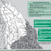
In order to support the response efforts and to protect the safety of the public and firefighting personnel, an area restriction is in effect for the Doctor Creek wildfire.
The area restriction begins at the junction of Highway 93/95 and Findlay Creek Road, south and west following the Skookumchuck Creek Forest Service Road to Buhl Creek, northwest following the height of land to Doctor Peak, continuing north to Mount St. Maur, east following the Dutch Creek drainage, then south following Highway 93/95 back to the point at the Highway 93/95 and Findlay Creek Road junction.