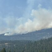
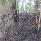
Cooler March brings more snow for region

By Nelson Daily Staff
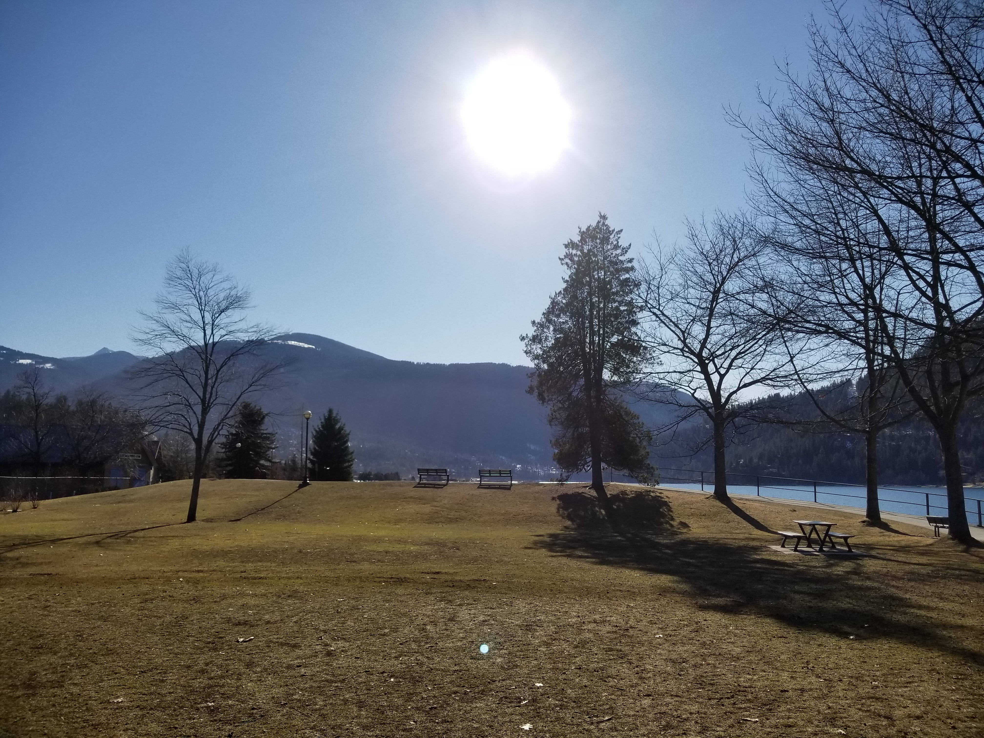
March was a little cooler than normal thanks to a cool northwesterly flow the Southeast Fire Centre said in its monthly weather synopsis.
“The largescale pattern alternated between a broad upper trough and a cool northwesterly flow during the majority of the month resulting in lower than normal temperatures and a greater fraction of the month’s precipitation falling as snow,” the monthly synopsis said.
“The total monthly precipitation was within one percent of normal but cool temperatures and lower snow levels meant that we saw over twice the normal amount of snow (31cm this month compared to the average of 13.2cm).”
The Southeast Fire Centre said the most significant Pacific storm to pass over the area brought 11.4cm of snow beginning during the night of March 7th, turning to rain (6.8mm) by the afternoon of March 8th with the next largest single-day snowfall event produced 7.2cm on the 24th.
“The coldest temperature of the month (-7.7 degrees) occurred during the early morning hours of the 10th when high pressure helped bring clear skies above the ridgetops and extensive low cloud and fog failed to develop below,” the Southeast Fire Centre said.
“This falls well short of the record low of -16.5 degrees set in 2009. Sunny skies and a well-mixed atmosphere brought the warmest temperature of the month on the 30th (+15.5 degrees), also falling short of the record high of 23.1 degrees from 2004.
The forecast by Environment Canada calls for wet weather through the weekend with the temperature rising into the double digits by the weekend.
As of the end of March, a total of 309cm of snow fell this winter. This is the most that has been seen in the area since the winter of 1996/97 (450cm) and is the 5th greatest amount on record (490.5 in 1968/69).