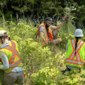
Snowpack in West Kootenay backcountry climbs to 215 per cent of normal

By Timothy Schafer Local Journalism Initiative Reporter
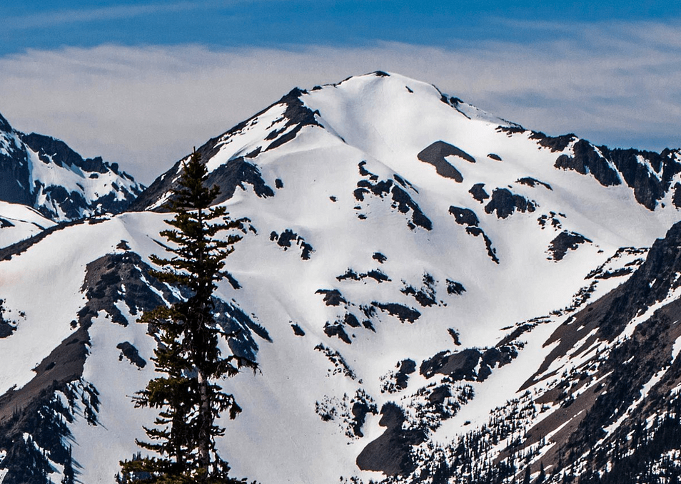
The region’s snowpack has climbed to 215 per cent of normal as the spring melt continues to build.
Since May 15 the region’s average snowpack has risen from 128 per cent of normal to 215 per cent, well above normal snow basin indices.
“It is important to note the total snow depth is not increasing,” noted the B.C. River Forecast Centre in its Snow Survey and Water Supply Bulletin.
“Instead, this high anomaly happens in June during years of delayed snowmelt when current snow levels are compared to normal values that are small due to advanced snow melt.”
The snow on the ground in the alpine regions has typically melted significantly by this time of the year (75 per cent), the centre noted.
The cooler weather of April and May means the snow pack melt has been delayed by nearly four weeks, poising the region as relatively high risk for flooding.
Snow pack is only one factor related to freshet flood risk, the forecast centre noted in its release, with weather conditions through June and July determining the timing, magnitude and rate of snow melt, with heavy rainfall events complicating the situation.
However, the upcoming weather forecast predicts seasonal to below seasonal temperatures through the region with continued unsettled conditions, according to the survey.
“The significant risk over the short-term is for potential heavy rain to fall on a melting snow pack,” the survey read. “These large snow basin numbers reflect a delay in melt, and not continued accumulation of snow from peak levels.”
Freshet season to last until late July
The spring runoff is slowly still building.
Precipitation over the past day has fallen across the region, with total amounts in the 20-30 millimetre range observed in most areas, with pockets of 30-60 mm observed in areas around Sparwood and Elko, noted Dan Elliott, communications coordinator with the RDCK.
“Temperatures dropped significantly, with reduced snow melt rates and some precipitation falling as snow at mid-to-high elevations,” he wrote in his release.
“Rivers are experiencing lower levels than forecast yesterday. In some areas, flows remain high but are not anticipated to reach flood stage as the runoff from this recent storm continues to pass over the coming day.”
The increased precipitation means people should stay clear of the fast-flowing rivers and potentially unstable riverbanks during this high-stream flow period.
Elliott said the RDCK remains under a high stream flow advisory, although the B.C. River Forecast Centre downgraded the advisory from a flood watch advisory.
Lake levels
Kootenay Lake is currently at 1,751.45 ft. (533.84 metres) at Queen’s Bay.
But lake levels could rise above 1,752 feet. Environment Canada forecasts unsettled weather conditions throughout the RDCK over the next week with no sign of an extended heat event, said Elliott.
“However, a significant change in the forecast or thunderstorms along with heavy rainfall could result in localized floods,” he said.
Note
• Information about evacuation alerts and orders in the RDCK can be found on the RDCK website, Facebookand Twitter. For details about evacuation and emergency preparedness, along with other resources, people can visit www.rdck.ca/eocinfo.
• The RDCK emergency operations centre public inquiry line is (250) 352-7701.