UPDATED: Special Weather Statement for Boundary, West Kootenay ended

By Nelson Daily Staff
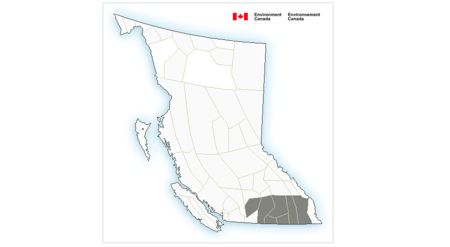
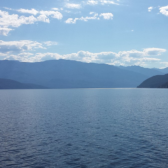
Environment Canada has ended a Special Weather Statement for Southern BC, including the Boundary, Arrow and Slocan Lakes and West Kootenay.
Environment Canada is calling for rain Wdnesday, ending early this morning then mainly cloudy with 40 percent chance of showers. There is a risk of thunderstorms this afternoon. with snow level 1700 metres rising to 2100 metres near noon and a temperature high of 15 C.
Special Weather Statement for Boundary, West Kootenay
Environment Canada has issued a Special Weather Statement for Southern BC, including the Boundary, Arrow and Slocan Lakes and West Kootenay Tuesday.
Environment Canada said there is a potential for heavy downpours and thunderstorms over the southern part of the province.
“An unstable atmosphere will lead to widespread showers with the risk of embedded thunderstorms over southern B.C. this afternoon and evening,” Environment Canada said
“Total rainfall amounts will be highly variable, ranging from 5 mm to upwards of 30 mm in areas affected by thunderstorms.
“While pinpointing the exact location and timing of thunderstorms is impossible, the heaviest precipitation is expected east of Okanagan Lake and into the Kootenays tonight,” Environment Canada added.
Environment Canada said the public and emergency managers should be prepared for sudden and heavy downpours.
“With snowpacks now primed for melt, the added rainfall could contribute to increased runoff in some areas including the Okanagan and Kootenay-Boundary regions,” Environment Canada.
The River Forecast Centre’s flood warnings and advisories can be found at: http://bcrfc.env.gov.bc.ca/warnings/index.htm
Environment Canada said showers and a risk of thunderstorms will continue Wednesday, however rainfall totals are expected to be less than tonight.
Remember: When thunder roars, go indoors.