UPDATED: Snowfall expected to taper off later Monday

By Nelson Daily Staff

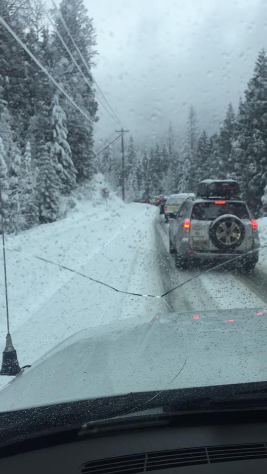
A Snowfall Warning remains for Boundary, West Kootenay as a low-pressure system moves across the Kootenays this morning with total amounts of 10 to 20 cm expected.
“Bands of heavy snow rotating around the low will continue to impact sections of the eastern Kootenays with additional localized snowfall amounts of 5 to 10 cm likely before snow tapers off later this morning,” said Environment Canada.
Drivers should be prepared to adjust driving with changing road conditions.
“Rapidly accumulating snow could make travel difficult over some locations. Visibility may be suddenly reduced at times in heavy snow.”
Weather in the mountains can change suddenly resulting in hazardous driving conditions.
Anyone traveling this Easter Monday should check with DriveBC before leaving to travel interior roads.
This morning at Whitewater Ski Hill, boarders and skiers found more than 40 cms of snow to as the season comes to an end.
More snow for Boundary, Kootenay Regions
Environment Canada has issued a Special Weather Statement for Southeast Interior due to a low pressure system spreading across BC Sunday night.
The system is bringing the potential for localized heavy snowfall Sunday night, with total amounts of 10 to 20 cm is expected.
A low pressure system will spread heavy snow over the eastern Kootenays tonight," Environment Canada said.
"The heavy snow will begin early this evening and ease early Monday morning. Snowfall amounts of 10 to 20 cm are expected by Monday morning."
Anyone driving Highway 3, including the Kootenay Pass, Bombi Pass and Paulson should check with DriveBC before leaving as weather in the mountains can change suddenly resulting in hazardous driving conditions.
The Special Weather Statement is for East and West Kootenay, Boundary and Elk Valley as well as Shuswap Similkameen, South Thompson and Okanagan Valley.