RDCK begins borrowing process for purchasing Cottonwood lands; looks to establish risk reduction strategy for natural hazards

By Nelson Daily Staff
Let the borrowing begin.
The regional district has created a bylaw to authorize the borrowing of $252,550 for the Nelson, Salmo, electoral areas E, F and G regional parks and trail service in order to finalize the purchase of the lands surrounding Cottonwood Lake Regional Park.
The original service was established in 1991 for the purpose of acquiring, developing and operating regional parks and trails, but the Regional District of Central Kootenay board of directors recently cracked it open to add in the new lands of Cottonwood.
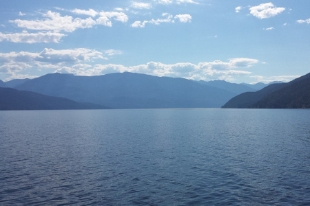
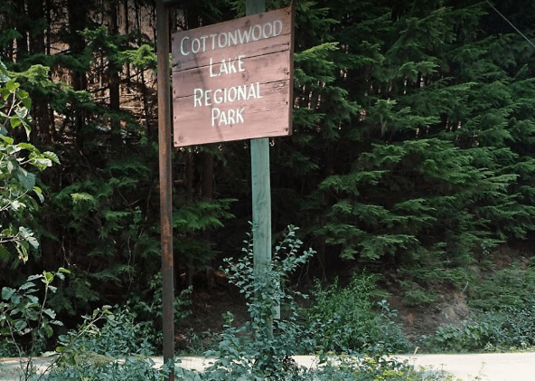
The board had deemed it “desirable and expedient” at its last regular business meeting in mid September to acquire approximately 21.6 hectares of fee simple land for the purpose of expanding Cottonwood Lake Regional Park.
The purchase agreement would give the regional district not only the property rights, but any easements, rights-of-way, licenses, rights or authorities.
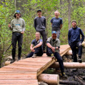
Last year the park was the centre of a major movement by a grassroots group — the Cottonwood Lake Preservation Society (CLPS) — as they mounted the “Save Apex to Cottonwood” campaign kicked off in response to an awareness campaign that had concerns about logging in the Cottonwood-Apex corridor.
The land was being logged by the Nelson Land Corporation in the Cottonwood-Apex corridor that had significant value to the community, with the land at the same height between the Nelson and Bonnington mountain ranges.
The area was deemed a natural wildlife corridor but also a diverse wetland ecosystem which fed into two major drainages: the Salmo River and Cottonwood Creek.
The area was also used heavily for recreation — fishing, biking, hiking and skating in the winter — with the Great Northern Rail Trail going through both areas. The Nelson Nordic Ski Club also had a significant network of trails in the area.
The Nelson Land Corporation had been logging since spring 2018 on land it owned on both sides of Highway 6 near Cottonwood Lake. The land was private and, as such, was not regulated by the province for logging practices.
The CLPS began advocating to the various levels of government to encourage the establishment of regulations or standards that would not allow for the kind of “dangerous and irresponsible logging practices that are currently happening across B.C. on private land.
The total sum of the property is $450,000 and the maximum term for the debenture is 30 years.
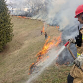
Taking the risk out of natural hazards
In drawing together the various strands of research undertaken in the RDCK over the last few years, the regional district is looking to establish a new natural hazard and risk reduction strategy to safeguard development.
In the last two years the regional district staff have prepared regional flood and hazard risk assessment and are in the process of completing a regional flood mapping project, both documents that can be drawn together for the strategy.
Developing a risk tolerance criteria and a risk tolerance policy is expected to provide engineers and geoscientists with clear standards for estimating natural hazard risk, read an RDCK staff report to the board.
“It would allow for clearer land-use decisions in relation to natural hazards, and lower the risk with development and building approvals,” the report stated.
“The two assessments provide an understanding of natural hazard risk associated with steep creek and clear water flooding in the region.”
The regional district has a wide range of natural hazards across the RDCK and land use and development up to this point have largely been made based on the best available information and industry standards.
However, recent assessments indicate a range of hazards and potential risk to communities, with climate change making it even more complex. In discussion in its recent meeting, the board agreed the world was in a global state of climate crisis, creating an imperative to undertake “rapid and far reaching changes” to building construction, energy systems, land use and transportation.
“While engineers and geoscientists can provide a analysis of the level of risk to properties, structures and individuals, it is outside of their purview to establish acceptable risk thresholds,” read the staff report.
As well, the regional district has no established risk tolerance policy that identified acceptable levels of risk, resulting in land-use and development decisions in known hazard areas being made without a consistent approach, exposing the RDCK to liability risk based on staff recommendations and board resolutions.
The next step is for the board to workshop the information related to assessing consequence of risk in order to inform the development of a risk tolerance criteria and policy.
The regional district will be applying to the Union of B.C. Municipalities Community Emergency Preparedness Fund to implement the strategy building on the regional district flood and hazard risk assessment project.
The regional district is planning to apply for further funding (up to $150,000) to initiate a regional consequence risk assessment and identify acceptable risk for the regional district.