Final touches on Railtown plan delivered

By Timothy Schafer
Although the Railtown neighbourhood train has finally come into the station after two years of riding the municipal rails, the perennial issue of parking in the polished plan could still be a pending problem.
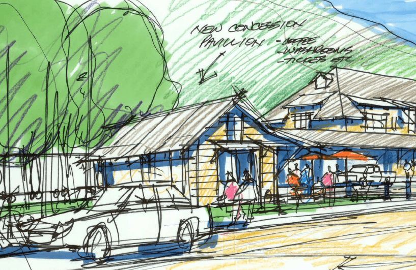
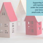
The city has decreed that parking in the newly amended plan will not be front and centre as it envisioned a mix of commercial and residential development in the new zone, dubbed C4 – Railtown Core Commercial Zone.
On Monday night during its regular meeting in council chambers city council approved the Official Community Plan amendment that parking “in any building and on any lot fronting Baker Street shall be located to the rear of the structure” in the new neighbourhood.
The intent is to ensure street frontage in buildings is not devoted to off-street parking requirements, said Dave Wahn, the former senior city planner contracted to develop the Railtown plan.
A maximum of 50 per cent of the gross floor area of a building at street level may be used for off-street parking, while all parking visible from Baker Street “shall be suitably landscaped or otherwise screened from view as approved in the development permitting process.
It was almost a given, said Coun. Janice Morrison during the meeting, that whatever happens to be developed in the neighbourhood would becoming to council with some sort of zoning amendment for parking requirements, since parking dominates most municipal development.
Preparation and adoption of the amendments to the zoning and OCP bylaws will provide private landowners with a set of rules to work with as they move forward on development plans.
The amendments would direct all private developers interested in moving forward with projects within the Railtown neighbourhood to review their plans within the context of the Official Community Plan, the Sustainable Waterfront and Downtown Master Plan, the Railtown SNAP and the Zoning Bylaw.
Approval of the bylaws assists city staff by updating all bylaws at once rather than based on individual development applications into the future, and encourages private development that reflects the goals and objectives identified within the sustainable neighbourhood action plan (SNAP).
A look at the amendments
The amendment to the Official Community Plan deals with two changes, including a statement that “all new development align with the council
approved Railtown SNAP.”
The second ame ndment updates the land use designation map to reflect the “broad land use expectations” for the various areas within theneighbourhood.
There are six changes to the Zoning bylaw, including creating the new zone (C4, Railtown Core Commercial Zone) in order to establish land use regulations that would encourage redevelopment of lands to reflect the Railtown SNAP.
The new zone is similar to the C1, Core Commercial Zone, but with a maximum height of 20 metres (16 m, is the maximum height in the C1 zone) and land use excludes “cannabis-related business” and includes “live/work.”
Four changes were made to the Off-Street Parking and Landscape Bylaw, dealing with car sharing and an expanded downtown parking area map.
“The purpose here is to move towards replicating downtown parking standards which relaxes parking requirements for developments thatinclude mixed-use developments including residential,” said Wahn.
The overall plan
The 28-acre Railtown neighbourhood has been planned based on a 35-year build out, with approximately 140 units anticipated in Railtown over the next 10 years, along with the potential for approximately 25,000 square feet of new commercial space and 11 acres of new light industrial space (city wide).
Grant funding will need to be secured for many of the projects in the plan (brownfield redevelopment, active transportation and ecological restoration) and the majority of development identified in Railtown is on private land and will rely on the market to drive it, with a few city-owned sites open for development by city staff.
The neighbourhood plan for Railtown is expected to connect Railtown and Baker Street to the waterfront, followed by the enhancement of the gateway to Railtown. A connection will then be made from Baker Street to the Cottonwood Market, with a pedestrian mews/lane and a Baker Street connection.
The rail yard plaza near where the Nelson and District Chamber of Commerce is located will be enhanced, and a station park will be created, with an area in Cottonwood Park designated as a mixed-use, multi-family zone.
The public realm and open space projects aim to support a connected active transportation network, including the connection of Baker Street with Government Road. Creating a transit connection through Railtown is also a priority.
The plan also has provision for additional parks and open spaces, with the possible addition of the former CP Rail Station’s superintendent residence on Baker Street to the city’s inventory.
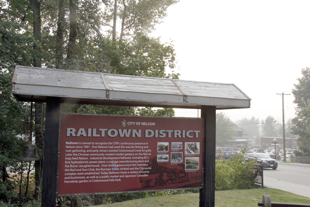
The area the city has dubbed Railtown is bordered by Highway 3A, Government Road, Cottonwood Falls, and the CPR railway tracks. It includes the refurbished CPR station.